Item tags
Item details
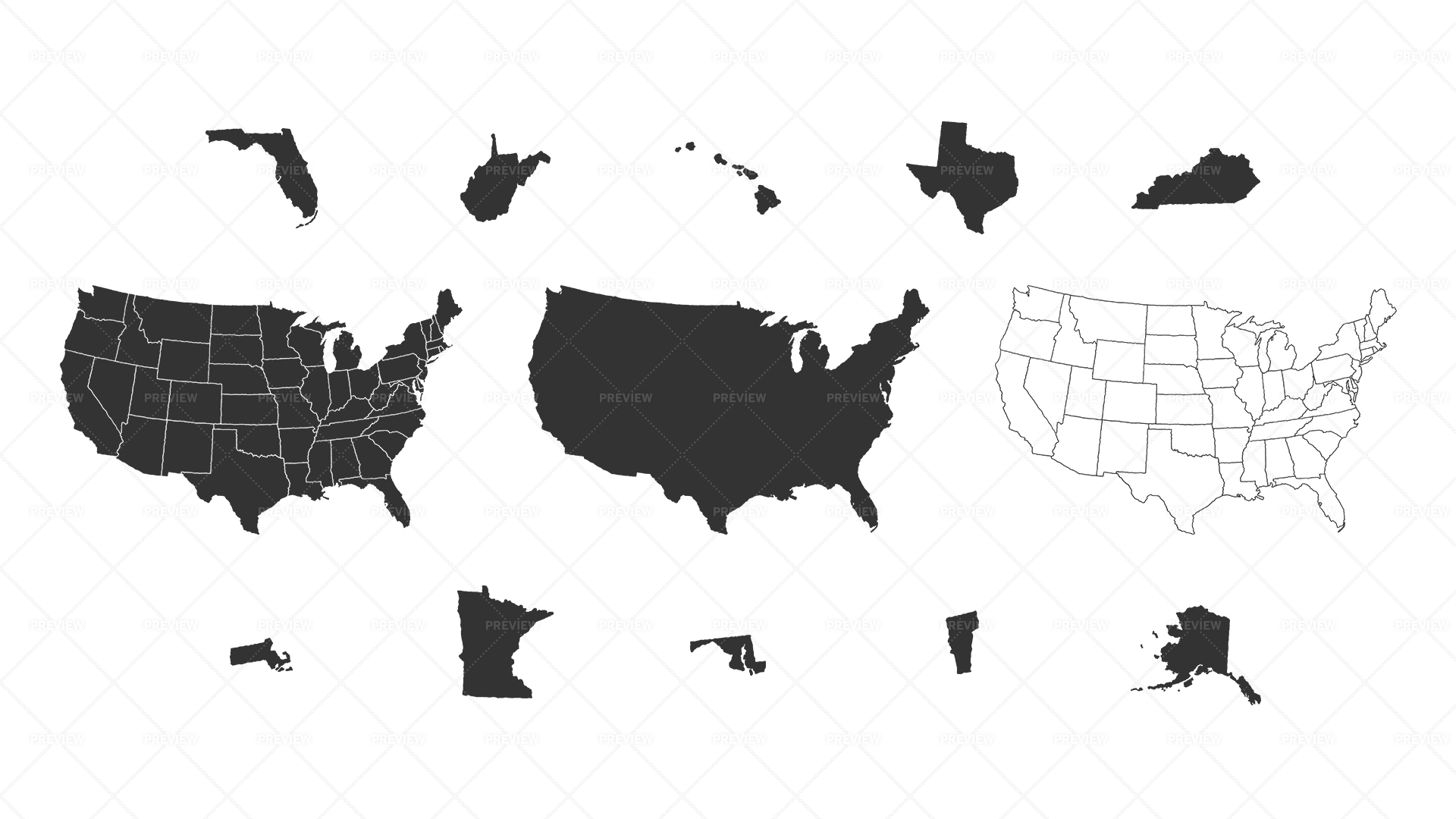
A map of the continental U.S. states in a hand illustrated style (including Alaska and Hawaii). Also included are all 50 U.S. states in individual files.
- Print/Digital
- CMYK/RGB
- 6008x3721 px
Item tags
Sorry, we couldn't find any results.

